
FIELD LOGS
STATUS: ACTIVE
OBJECTIVE: DOCUMENTING THE PURSUIT
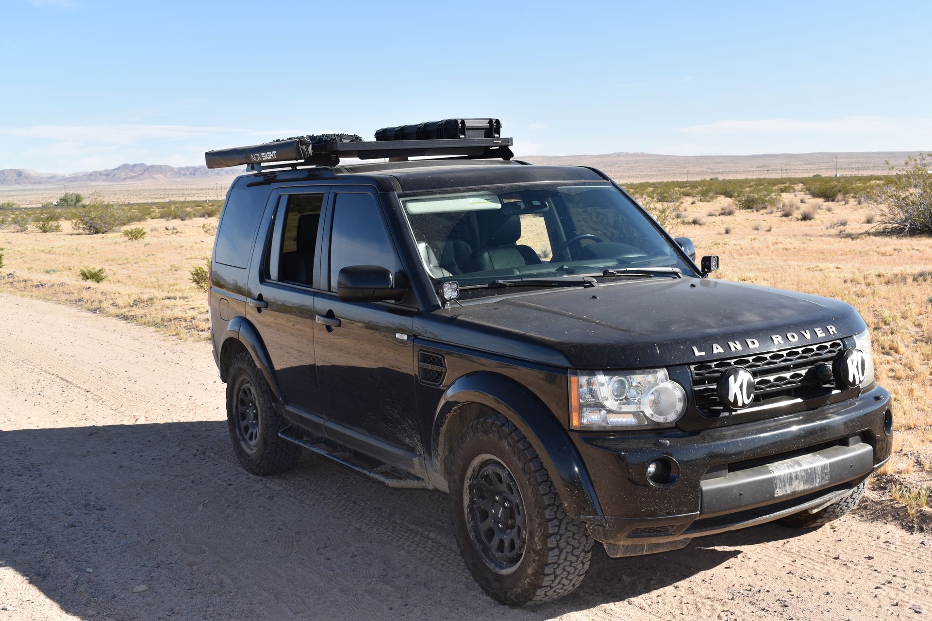
Field Log 002: Project Maverick
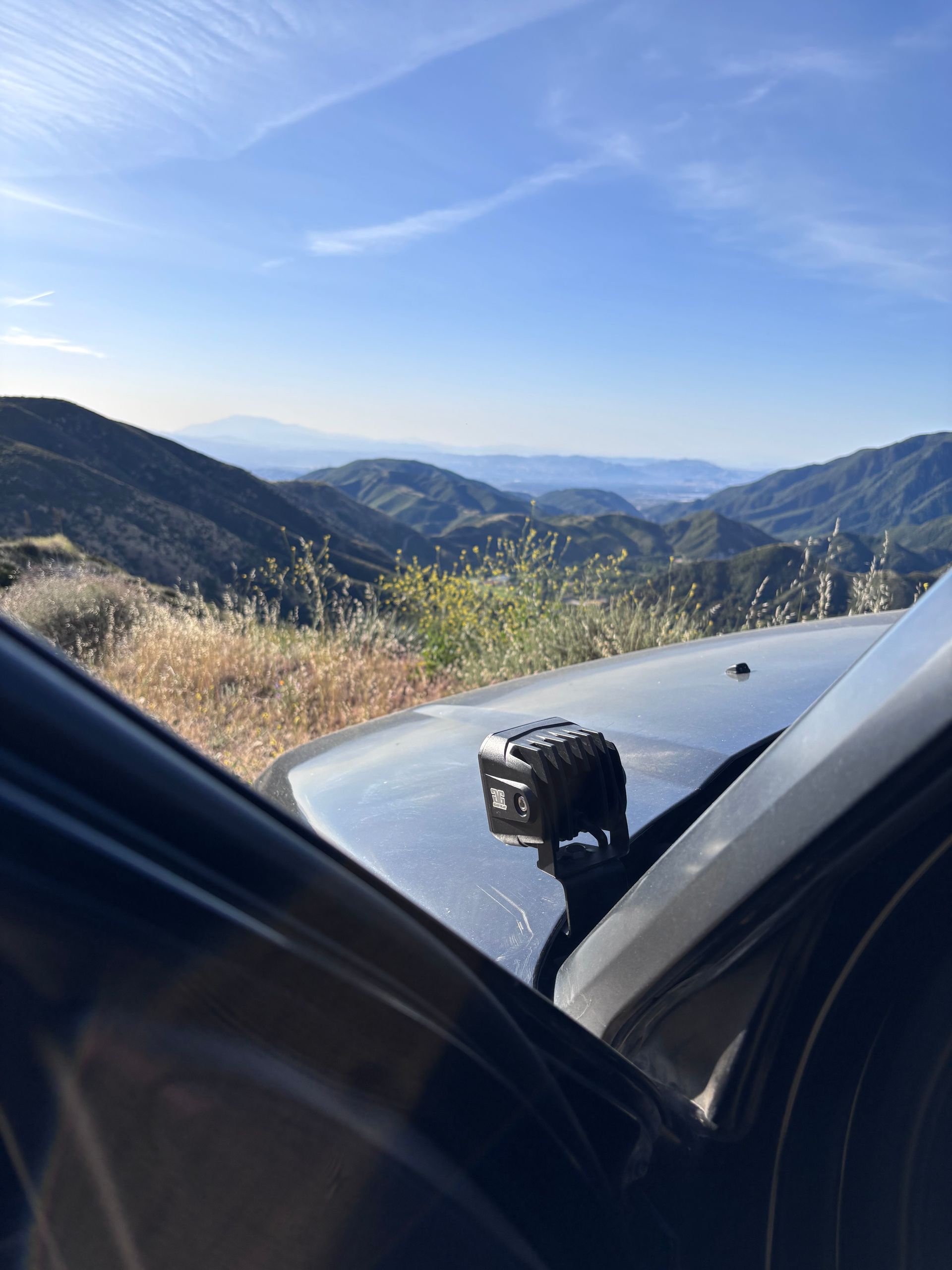
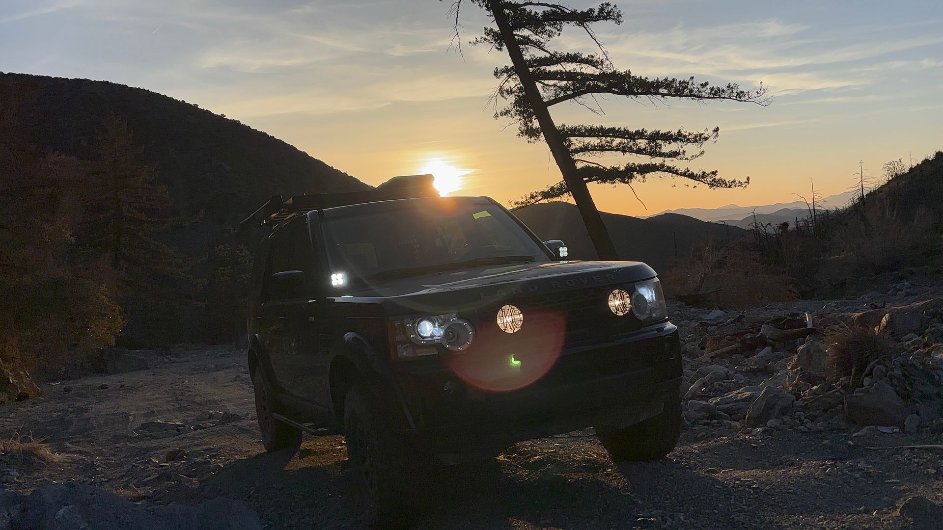
ENTRY: 09:30 AM. We headed into the treeline to finish the weekend in presence. The trail isn’t just a challenge for the LR4; it’s a classroom. Today, the seat on the left wasn’t mine.
PROJECT MAVERICK: THE HAND-OFF. Watching a son take the wheel on technical terrain is a reminder that the most important “Field Assets” we have aren’t mechanical; they’re the ones sitting next to us. We are documenting more than just miles; we are documenting the transfer of inherited knowledge.
“Train up a child in the way he should go; even when he is old he will not depart from it.” — Proverbs 22:6
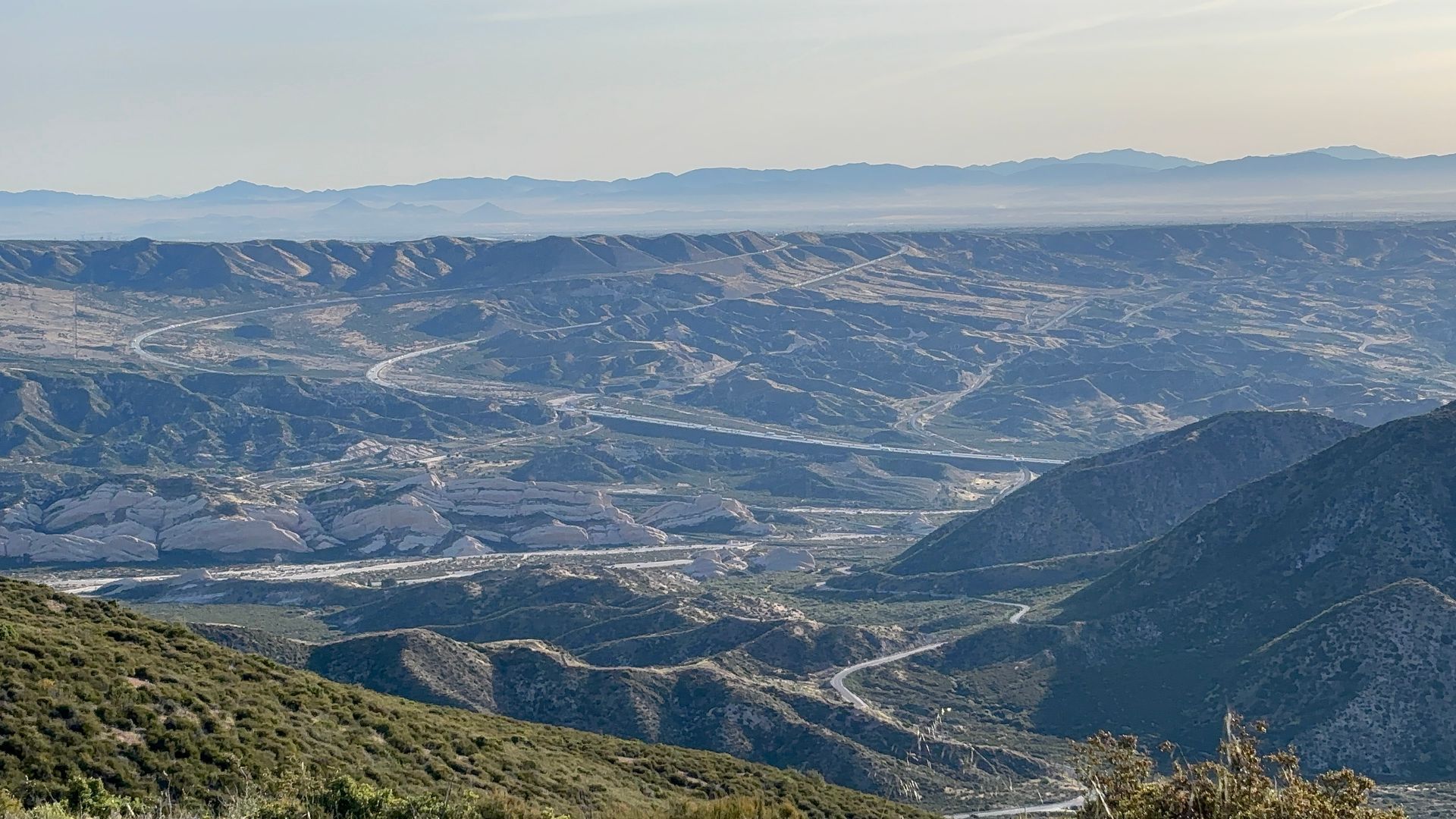
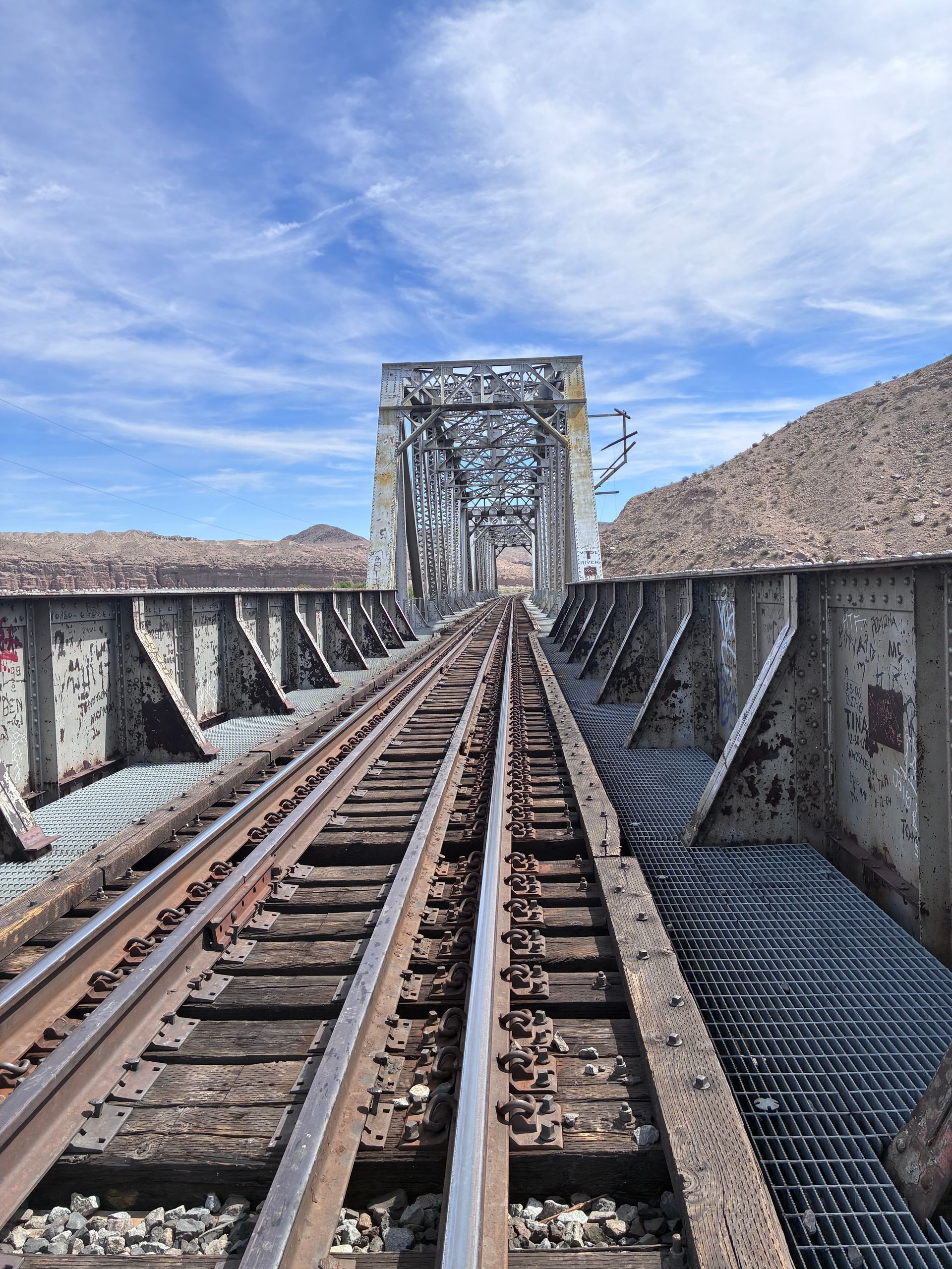
LOG 001: LYTLE CREEK | 3N06A
COORDINATES: 34.2561 N. 117.5025 W.
Total time: 2 hr 56 min
Distance: 32.7 mi
ELEV: Gain 3667 ft. Loss 5105 ft.
ENTRY: 5:30 AM. We went looking for the silence and found the stream. The trail isn't just a path through the San Bernardino Forest; it's a reminder that restoration requires movement. First light on the Foundations Line.
A few months back, the storms washed most of this out. The trail was almost gone, but looking at it today, the path has been remade- not just by construction crews, but by the weight of every vehicle that refused to turn around, it serves as a reminder that the way forward is often carved out by those who went before us.

GENESIS
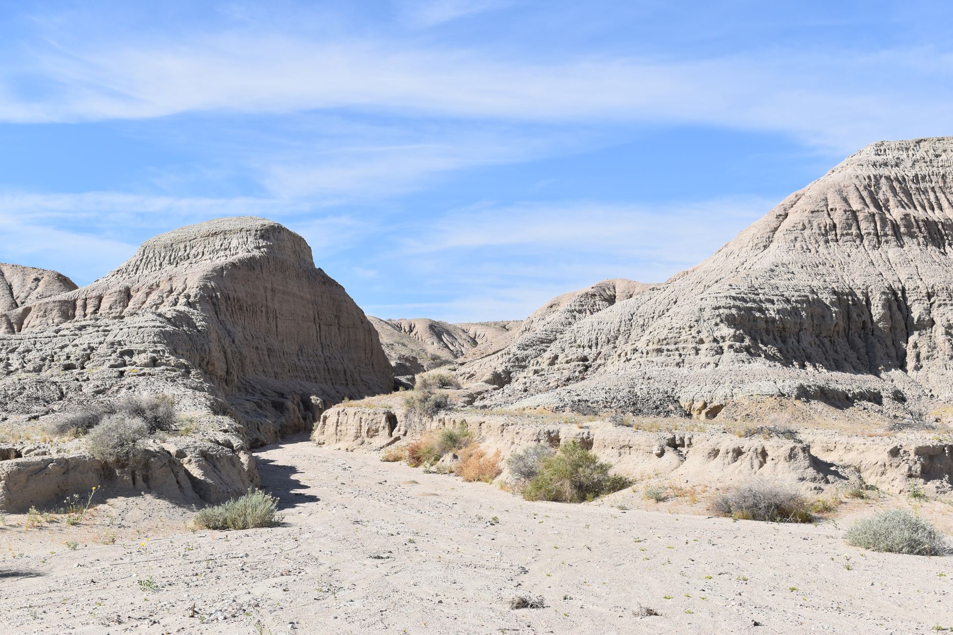
LOG: 000 MOJAVE ROAD
COORDINATES: 35.04361 -116.28584
TOTAL TIME: 3 hr 45min.
LOW POINT: 944 ft.
HIGH POINT: 1763 ft.
The Mojave was the prototype. it was where the Field Log started before we had a name for it. Every sticker that we design and every mile we track is built on the silence we found out here in March.

The Tool Box
The trail doesn't just test your rig; it reveals the parts of you that need a reset. We need to carry tools for when the spirit gets stuck. This is equipment for the most important recovery of all.
Old steel and desert silence. The Moave doesn't keep a schedule.

Equip yourself for the journey and help support this mission